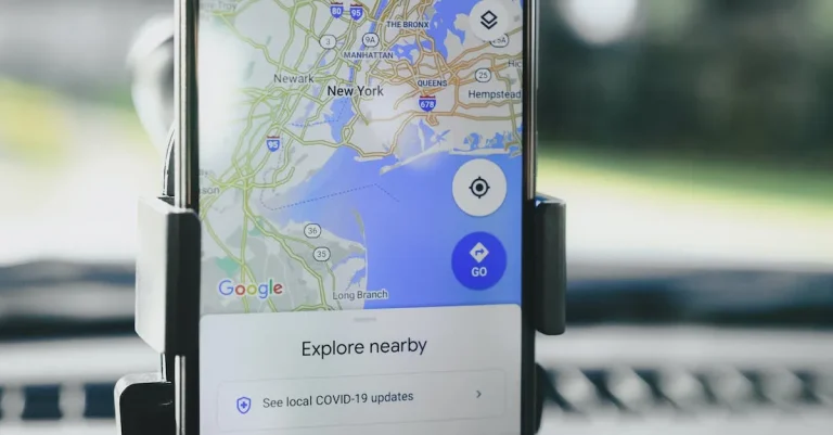
Using Google Maps to plan your drive time for an upcoming trip or commute?
One of the most useful features is the ability to enter your destination and desired arrival time to get recommended departure times.
But how accurate is Google Maps’ recommended leave time and what factors should you consider when relying on its suggestions?
If you’re short on time, here’s a quick summary:
Leave 15-30 minutes before Google Maps’ estimated departure time to account for traffic fluctuations and unexpected delays. Monitor live traffic closer to your leave time and adjust accordingly.
In this comprehensive guide, we’ll provide insider tips on how much buffer time you should build in when to trust Google Maps’ suggested times, and how to leverage its live traffic data and other features to determine the optimal time to leave.
How Accurate is Google Maps’ Recommended Leave Time?
Google Maps has become an essential tool for many people when it comes to planning their commute or travel routes.
One of its key features is the recommended leave time, which aims to provide users with an estimate of when they should start their journey in order to reach their destination on time.
While Google Maps’ recommended leave time is generally reliable, it is important to understand that it is not perfect and can be influenced by various factors.
Generally Reliable, But Not Perfect
Google Maps’ recommended leave time is based on a combination of historical and real-time traffic data.
The algorithm takes into account factors such as the current traffic conditions, average speeds on different routes, and the estimated time of arrival at the destination.
However, it is important to note that Google Maps’ recommended leave time is not infallible.
Traffic patterns can change unexpectedly, and unforeseen incidents such as accidents or road closures can significantly impact travel times.
Therefore, it is always a good idea to use your own judgment and consider other sources of information, such as local traffic reports or alternative navigation apps, to ensure a smooth journey.
Factors That Affect Accuracy
Several factors can influence the accuracy of Google Maps’ recommended leave time. One of the key factors is the availability and accuracy of real-time traffic data.
Google Maps relies on data from various sources, including GPS signals from smartphones and anonymous data from users who have opted to share their location.
While this data is generally reliable, there can be instances where it may not accurately reflect the current traffic conditions.
Another factor that can affect the accuracy of Google Maps’ recommended leave time is the time of day.
Rush hour traffic and peak travel times can significantly impact travel times and may require you to leave earlier than the estimated time provided by Google Maps.
Additionally, factors such as weather conditions and special events can also affect traffic patterns and travel times.
Live Traffic vs Typical Traffic
It is important to understand the distinction between live traffic and typical traffic when using Google Maps.
The recommended leave time is based on typical traffic conditions, which are calculated using historical data and average travel times for specific routes.
This means that the estimated time provided by Google Maps may not account for any unexpected delays or changes in traffic patterns.
For a more accurate estimate, you can switch to the live traffic view in Google Maps, which takes into account real-time data and provides more up-to-date information on traffic conditions.
This can be particularly useful when planning your journey during periods of heavy traffic or when there are known incidents that could impact travel times.
How Much Buffer Time Should You Add?
When it comes to planning your commute, adding some buffer time is always a smart move.
Google Maps provides valuable information on estimated travel times, but it’s important to consider potential delays and unexpected circumstances.
Here are some guidelines on how much buffer time you should add to your journey.
15 Minutes for Short Distances
For shorter distances, adding around 15 minutes of buffer time is usually sufficient. This allows for minor traffic congestion, finding parking, or any unforeseen delays that may arise.
It’s better to be early and have a few extra minutes to spare than to be rushing and potentially running late.
30 Minutes for Longer Distances
If your journey involves a longer distance, it’s advisable to add approximately 30 minutes of buffer time.
This additional time accounts for potential traffic congestion, road closures, or detours that may occur along the way.
It also gives you some flexibility in case you need to make a stop or encounter unexpected delays.
More Time for Unpredictable Conditions
In certain situations where conditions are particularly unpredictable, it’s wise to add even more buffer time. This can include inclement weather, special events, or known high-traffic areas during peak hours.
For example, if you’re traveling during rush hour in a busy city, adding an extra 45 minutes to an hour may be necessary to ensure a stress-free journey.
Remember, these guidelines are just general recommendations, and it’s always best to use your judgment based on the specific circumstances.
It’s also important to regularly check for updates on road conditions and traffic alerts through reliable sources such as local transportation authorities or official websites.

Using Google Maps Features to Optimize Leave Time
Google Maps has become an essential tool for navigating through the complexities of modern-day traffic. But did you know that it can also help you determine the best time to leave for your destination?
By utilizing some of Google Maps’ innovative features, you can save yourself valuable time and avoid unnecessary stress on the road.
Let’s take a closer look at how you can optimize your leave time using Google Maps.
View Live Traffic
One of the most useful features of Google Maps is its ability to provide real-time traffic updates. By selecting the “live traffic” option, you can see the current traffic conditions on your route.
This feature uses a combination of data from GPS-enabled devices, road sensors, and historical traffic patterns to give you an accurate picture of the road conditions.
By checking the live traffic updates before you leave, you can avoid congested areas and find alternate routes to your destination.
See Travel Time Trends
Google Maps also provides valuable insights into travel time trends. By analyzing historical data, it can predict how long your journey is likely to take based on the day of the week and time of day.
This feature is especially helpful for regular commuters who want to plan their trips more efficiently.
By checking the travel time trends, you can adjust your departure time to avoid peak traffic hours and arrive at your destination faster.
Check Typical Traffic
Another feature that can help you determine the best time to leave is the “typical traffic” feature on Google Maps.
This feature provides an estimate of the usual traffic conditions on a specific route at different times of the day.
By checking this information, you can get a sense of when the roads are usually less congested and plan your departure accordingly.
Whether you’re heading to work in the morning or going home in the evening, knowing the typical traffic patterns can make a significant difference in your travel time.
Leverage Timeline and Location Sharing
Google Maps’ timeline and location sharing features can also come in handy when optimizing your leave time.
By enabling the timeline feature, Google Maps keeps track of your past trips and can make recommendations based on your travel patterns.
Additionally, you can share your location with friends or family members, allowing them to see your real-time location and estimated arrival time.
This can be especially useful when coordinating group outings or making sure loved ones know when to expect you.
By using these innovative features offered by Google Maps, you can take control of your travel time and make your journeys more efficient.
Whether you’re a daily commuter or planning a road trip, optimizing your leave time can help you avoid unnecessary delays and make the most of your day.
So, next time you’re wondering what time you should leave, turn to Google Maps for guidance.
Conclusion
Google Maps provides a useful baseline through its suggested departure times based on route, historical traffic data, and desired arrival time.
While generally accurate, it’s wise to build in an extra 15-30 minutes depending on your trip to account for unforeseen delays and traffic fluctuations.
Tap into Google Maps’ robust features like live traffic, timelines, and location sharing to make adjustments in real-time.
With smart preparation using Google Maps’ recommendations, you can feel confident you’ll leave at the optimal time and arrive safely and stress-free.